

The aim of the project is to create a system for monitoring vehicles in urban areas using camera technology, edge computing (counting directly on end devices), machine learning, and IoT platforms. The role of the system is to record and evaluate vehicle behavior information in the track section to help optimize traffic by, for example, identifying "busy hours" based on the length of vehicle stagnation or detecting the entry of an unauthorized vehicle into a designated location.
We will replace the manual analysis of vehicle behavior in an automated way, allowing for a more accurate recording of traffic events..
Thanks to the processing of video stream directly on the end device, we can save costs and send the already evaluated data to the cloud.
The obtained data will be usable, for example, to improve urban systems such as the SmartParking platform (zaparkuj.to) or directly to optimize traffic.

Project leader
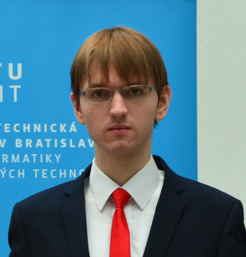
Developer
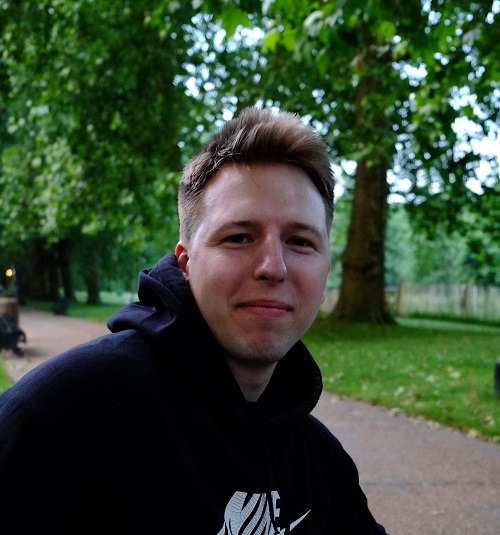
Computer Vision & Algorithms

Scrum Master
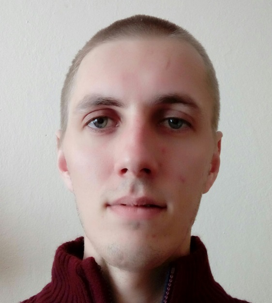
Full-stack Developer
Computer Vision & Algorithms

Developer

Graphic Designer, Front-End Developer
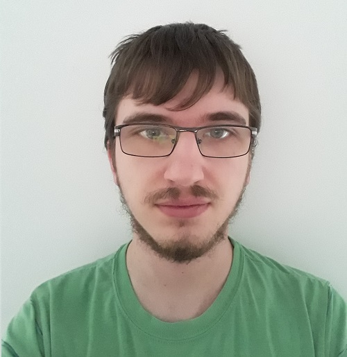
Git master, Developer
Step 1: Write a methodology of something.
Step 0: Write a methodology of how to write a methodology first.
Step -1: Write a methodology of how to write a methodology on how to write a methodology first.
Step -2: Write a methodology of how to write ...

Meeting with product owners, configuring servers and IDEs.

Starting development of all application components (AI camera module, BE / FE server)

Display the number of transits from the monitored area on the web based on camera generated events.

Allowing the user to modify the configuration of the monitored area to the camera using annotations and display the transition histogram for the monitored area.

MVP

Integrate HERE maps and livestream from camera

Finish the livestream, implement keypoint-tracking, unify design according to design manual.
Visualization of passes between zones in maps and photos of the intersections.

Visualization of movements and stalls of vehicles via trajectories and heat maps, deployment of the software on a real camera device.

Improved perfomance by aggregating movement data, design tweaks.

Visualization of transit volume over time, GPU acceleration.